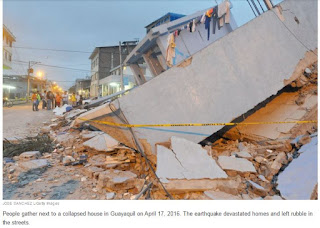
Photos From Ecuador Show Devastation After The Deadly Earthquake
Concepts of Thinking: Spatial Significance, Geographic Perspective, Interrelationships
Inquiry: How might people best help the people who need help? Where might people go to get the aid they need?
Activity: Create a map of the area and the plate boundaries, fault lines and human patterns. Conduct an issue analysis to help determine what could be done. Communicate via story map to the appropriate audience.


No comments:
Post a Comment